
Source: https://old.reddit.com/r/MapPorn/comments/1fdij5t/historical_regions_of_europe_beta_version/
Seems to be quite a few litigious points, especially
- Lombardy / Tuscany
- Slovakia
- Galicia in Poland
- Scotland
- Etc.
I’ll follow up on this thread and post the updated version if the author updates it
Additional input from the author
Here is the explanations comment
The main reference maps are here.
This map is based on geographical/historical/cultural regions division of Europe. The base canvas that has been used is Europe-Detailed from MapChart and it sucks because every country is overstretched with some parts like Germany and the Balkans being highly deformed. The overstretched Scandinavia was so unworkable I replaced it with HOI4 MapChart (it was already too late when I discovered MapChart has Paradox Interactive maps). If I make a final version, I will probably use HOI4 provinces as my base canvas because they provide enough fragmentations and countries are not that much deformed.
Since this map is intended to be used for studying History, I tried to focus on historical regions (which are often cultural regions too). When I couldn’t use historical regions because it was too complex or because of a lack of data, I resorted to geographical regions.
So, now here are some details about the regions I chose to display :
- Sweden is not finished. Here is the map I planned to use as my reference for Sweden.
- I am still struggling to understand if the borders of the federations composing current North Caucasia are historical borders or if they were imposed by Moscow after some forced ethnic migrations. So I chose the easy way and displayed the geographical regions.
- Germany’s regionalism is hell because of the HRE. So I assumed that people who are interested in the HRE should rather use more specific maps instead of mine. The regions displayed on my map come from a mix between dialect maps and political entities that have been around for a long time. Brandenburg and Upper Saxony are overstretching on their western part because I didn’t know what to do with Sachsen-Anhalt.
- Russia is largely blank because of the lack of data. From what I understood, people in Russia use either big cities or uezds to refer to a specific location. Using uezds would be the most accurate solution but I am not familiar enough with russian geography to work with such a fragmented Russia so for the time being, I decided to display current oblasts that approximately correspond to either one of the main principalities of the Kievan Rus.
- The Balkans map is mostly based on geographical regions. I am still unsure for Alföld. Gorica is not displayed because it is too small. Baranya is not displayed because the Croatian-Hungarian-Serbian border is already too complex. The coastal region of Toskëria should be Myzeqe but I decided to not display it for now because it was rather small.
- For Switzerland (whose key has been rendered unreadable by the compression) I kept the current county division
If you want to make an improved map or a variation map, feel free to use this unfinished map.
Note : If you have some remarks, I think it would be better to write them on a separate comment and not reply to this one to avoid creating an unending thread of replies.
Note 2 : Feel free to provide more detailed maps of specific regions of Europe, it may save some time for people struggling to find what they want.
…and if you don’t like these, go back or forward by a hundred years and you get new ones
Interesting map, but at least for Germany, it’s quite an odd mix of current-day cultural regions, historic cultural regions from various times and historic administrative regions. It’s really all over the place. I’m not sure the person who made this has any proper definition on what makes up a “historical region”.
Updated the post (and posted a comment below) with additional input from the map author
Please tell me Capt. Picard is from the old Picardy region of France!
He is not, sadly. His name is a real surname that did originally mean “from Picardy” though, so presumably his great-great-great-whatever-grandparents were
This is fun. I’ve wondered for years if Maine was really in France.
Why is Scotland not broken up at all?
Because nobody brought it up for the previous version of the map. The author is going to update it for the next version
For Scotland, if we are to approximately match the time period and granularity represented in England:
- Northumbria probably extends up towards that big river estuary (the Forth) on the east coast.
- The big triangular part of the east north of that is Picts (probably not unified depending on your specific year, at least not in any sense beyond paying tribute). We don’t know a huge amount about these guys, but they’re a Celtic people who probably spoke a language somewhat related to Welsh. They’re also probably the descendants of the people the Romans mostly saw north of Hadrian’s wall.
- Dàl Riata in the west coast, probably not extending as far north as the big island in the northwest (called Lewis & Harris, despite being one island) or as far south as the peninsula in the southwest but possibly including part of northwest Ireland and the Isle of Man depending on the year. These are the Gaels that moved to Scotland from Ireland, and it’s from them that we get the name “Scotland”. What went on to become the Scotland we know today was formed when a king of Dàl Riata managed to make himself king of the Picts too.
- Alt Clut or Strathclyde in that peninsula in the southwest. These guys were Cumbrians, close cousins to the Welsh, and would eventually be conquered by Scotland after being subject to a lot of Norse raiding.
- This leaves the north, including Lewis & Harris and the islands in the northeast. These were probably mostly Pictish up until they became the main power base of various Norse kingdoms, and the Norse influence held long enough that the culture shifted away from the emerging Scottish culture. Whether or not they are counted as Norse or Pictish depends on the year you pick. I’d probably lean towards Pictish if we’re matching the borders in England, which look to be during the Mercian supremacy a little before the Norse got a real foothold on Britain, but if you want to show the historical regions that influenced area as it is today you’d go with Norse. Scotland would gradually push the Norse out over centuries, eventually acquiring the northernmost islands (Shetland) as collateral when the king of Denmark and Norway failed to pay a promised dowry in the 14th century.
If it’s not from the Limousin region of France, it’s just a sparkling wheelbase extension
It’s Schleswig, not Schelswig, thank you. Op ewig ungedeelt!
Fuck me is this some cringe shit.
Why? I mostly know France and Belgium, and it’s quite accurate
Don’t necessarily agree that this is “cringe shit”, but [the author]'d need to stick to a specific year to have any chance of creating an accurate representation of anything.
Found this additional input from the map author in the post:
Here is the explanations comment
The main reference maps are here.
This map is based on geographical/historical/cultural regions division of Europe. The base canvas that has been used is Europe-Detailed from MapChart and it sucks because every country is overstretched with some parts like Germany and the Balkans being highly deformed. The overstretched Scandinavia was so unworkable I replaced it with HOI4 MapChart (it was already too late when I discovered MapChart has Paradox Interactive maps). If I make a final version, I will probably use HOI4 provinces as my base canvas because they provide enough fragmentations and countries are not that much deformed.
Since this map is intended to be used for studying History, I tried to focus on historical regions (which are often cultural regions too). When I couldn’t use historical regions because it was too complex or because of a lack of data, I resorted to geographical regions.
So, now here are some details about the regions I chose to display :
- Sweden is not finished. Here is the map I planned to use as my reference for Sweden.
- I am still struggling to understand if the borders of the federations composing current North Caucasia are historical borders or if they were imposed by Moscow after some forced ethnic migrations. So I chose the easy way and displayed the geographical regions.
- Germany’s regionalism is hell because of the HRE. So I assumed that people who are interested in the HRE should rather use more specific maps instead of mine. The regions displayed on my map come from a mix between dialect maps and political entities that have been around for a long time. Brandenburg and Upper Saxony are overstretching on their western part because I didn’t know what to do with Sachsen-Anhalt.
- Russia is largely blank because of the lack of data. From what I understood, people in Russia use either big cities or uezds to refer to a specific location. Using uezds would be the most accurate solution but I am not familiar enough with russian geography to work with such a fragmented Russia so for the time being, I decided to display current oblasts that approximately correspond to either one of the main principalities of the Kievan Rus.
- The Balkans map is mostly based on geographical regions. I am still unsure for Alföld. Gorica is not displayed because it is too small. Baranya is not displayed because the Croatian-Hungarian-Serbian border is already too complex. The coastal region of Toskëria should be Myzeqe but I decided to not display it for now because it was rather small.
- For Switzerland (whose key has been rendered unreadable by the compression) I kept the current county division
If you want to make an improved map or a variation map, feel free to use this unfinished map.
Note : If you have some remarks, I think it would be better to write them on a separate comment and not reply to this one to avoid creating an unending thread of replies.
Note 2 : Feel free to provide more detailed maps of specific regions of Europe, it may save some time for people struggling to find what they want.
First: what time frame is the reference here? We know about different european cultures dating back a couple of thousand years and cultures and borders were ever shifting. Compare the Holy Roman Empire with germanic tribes during the (actual) Roman Empire, or the Frankish realms with celtic tribes before the Roman conquest. OP on reedit says they defined “regions” as locations with borders that were in place for centuries (which has rarely happened throughout the history of Europe) and developed regional cultural identities (which they completely missed).
Second, regarding Germany (especially northern Germany), it’s inaccurate.
For example, what they marked as Oldenburg seems fairly accurate at first glance, but the actual Grand Dutch of Oldenburg existed only from 1815 till 1918 and also included the Dutch of Lübeck at the Baltic Sea and the Dutchy of Birkenfeld in southern Rhineland-Palatinate. You could argue it existed through the Weimar Republic and the Third Rich (adding 27 years to its existence, but 130 years is still not “centuries”). When it became an administrative district in the Federal Republic of Germany 65 years ago, it lost its exclaves Lübeck and Birkenfeld. 65 years is still not centuries.
The region called “Elbe” is even less accurate. It shows only a part of the Elbe-Weser-Triangle, an area that at times was two territories, Bremen and Verden, later the territory Bremen-Verden and was times ruled by the Holy Roman Emperor, Sweden, napoleonic France and the German Reich. But again, what is called “Elbe” here is only a part of said territory and contains Hamburg (which was never part of Bremen-Verden). Also, in more ancient times, it was part of the saxon tribal area, like Holstein, too.
East- and Westphalia are much bigger here than the actual historical regions. Eastphalia was split up in 1180, while Eastwestphalia (yep, this is a thing) and Westphalia still exist today. And all these borders have very little to do with cultural identities. Those close to the coastlines (and by close I mean like almost directly on the dikes) have more in common with each other than with those more inland. People who live by the North Sea in Holstein have more in common with people living in “Elbe” (I hate this name for a region. The Elbe is a river that traverses from Czechia through Bohemia, Saxony, etc all the way into the North Sea) or the coastal areas of Oldenburg than the letters have in common with people in the city of Oldenburg.Historic regions and cultures are always time specific. If you want to make such maps, decide if you want to make it political or culturalor whatever, and pick a specific time frame you want to depict. Everything else leads to inaccuracies
Seems like you were not the only one complaining: https://old.reddit.com/r/germany/comments/1fabllc/need_help_drawing_historical_regions_of_germany/
I’m not surprised. I get the idea trying to display regions that don’t exist anymore, but it’s an utterly foolish attempt to try and display regions from different time periods and the same map.


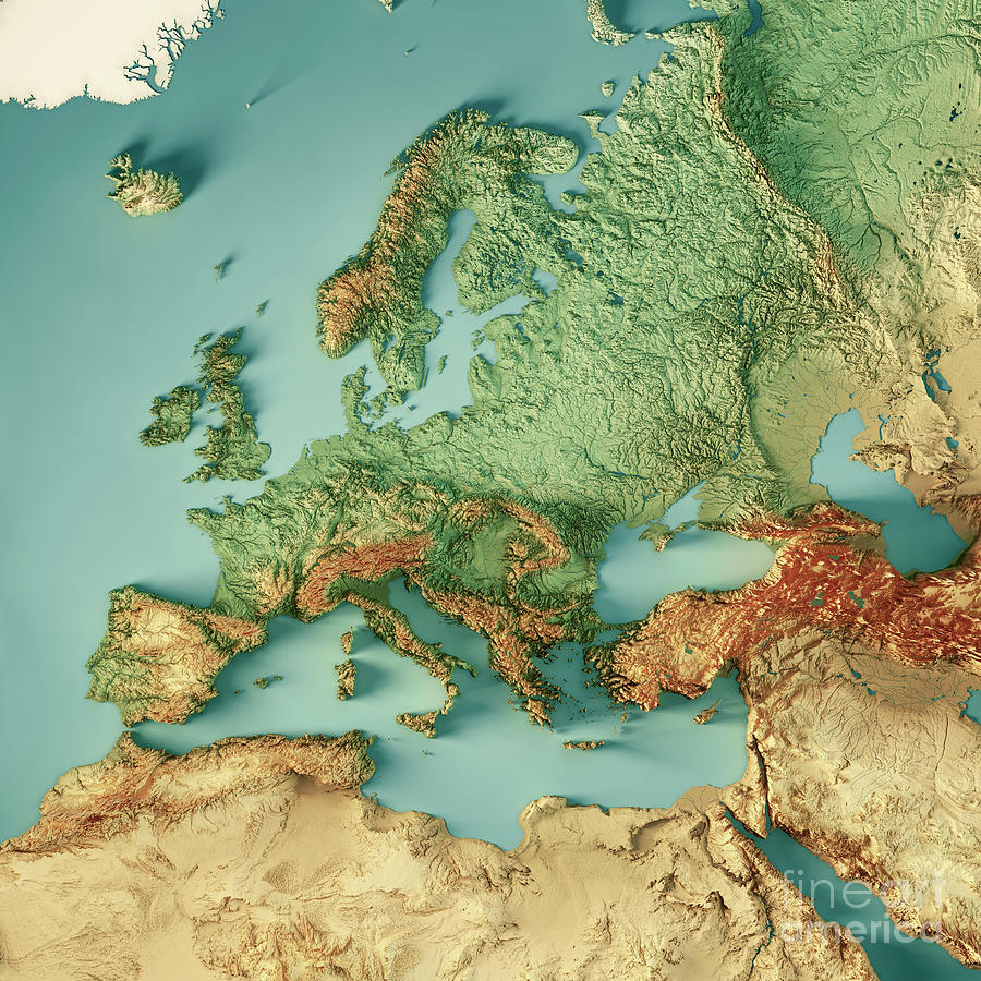
![Historical regions of Europe [beta version]](https://files.catbox.moe/u7730d.jpeg)